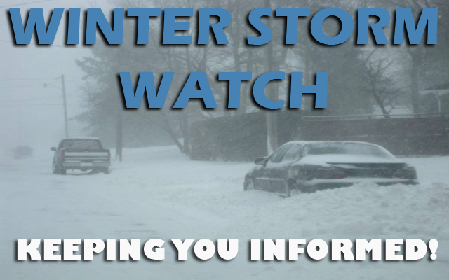
⚠❄🧊 Winter Storm Watch from Monday afternoon through Tuesday afternoon ⚠❄🧊
…Freezing Rain And Snow Late Monday Into Tuesday…
A winter storm will spread mixed precipitation across the Upper Midwest from Monday into Tuesday. A mix of snow and freezing rain is anticipated in parts of northern and northwestern Iowa, with a potential for significant ice accumulations by Monday night and light snow lingering on Tuesday. Travel impacts are likely across the region during this time frame.
Power outages and tree damage are likely due to the ice. Travel could be treacherous. The hazardous conditions may impact the Monday evening and Tuesday morning commutes.

…WINTER STORM WATCH FROM MONDAY AFTERNOON THROUGH TUESDAY AFTERNOON FOR CERRO GORDO, WORTH, WINNEBAGO, HANCOCK AND KOSSUTH COUNTIES…
A mix of snow and freezing rain. Total snow accumulations of one to three inches and ice accumulations of one tenth to three tenths of an inch possible.
…WINTER STORM WATCH FROM MONDAY AFTERNOON UNTIL TUESDAY AFTERNOON FOR MITCHELL AND MOWER MN…
Heavy mixed precipitation possible. Late Monday afternoon through Tuesday morning: Ice accumulations of one tenth to three tenths of an inch possible. Tuesday: Light snow accumulations.
….WINTER STORM WATCH FROM MONDAY AFTERNOON THROUGH TUESDAY AFTERNOON FOR FREEBORN AND FARIBAULT COUNTIES IN SOUTHERN MINNESOTA.
Heavy mixed precipitation possible. Total snow accumulations of 4 to 7 inches and ice accumulations of around one tenth of an inch possible.

Freezing rain and snow are expected to accumulate across the northwestern third of Iowa, where a Winter Storm Watch is in effect.
Light to locally moderate snow amounts are likely, but ice amounts could be more significant. Further south toward central Iowa, only rain is expected at this time, but forecast updates should be closely monitored.
Travel may become treacherous across northern Iowa from late Monday into Tuesday, so please check the latest forecast and road conditions regarding this storm system before setting out!