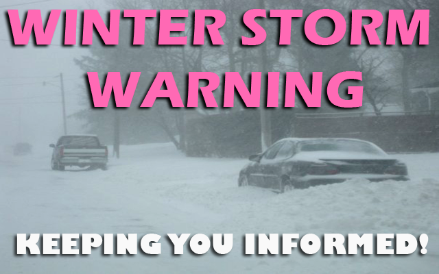
WINTER STORM WARNING from Midnight tonight until 6 AM Friday for Cerro Gordo, Worth, Winnebago, Hancock and Kossuth counties.

….FOR CERRO GORDO, WORTH, WINNEBAGO, HANCOCK AND KOSSUTH COUNTIES….WINTER WEATHER ADVISORY UNTIL MIDNIGHT TONIGHT, THEN WINTER STORM WARNING FROM MIDNIGHT TO 6 AM….WINTER WEATHER ADVISORY FROM 6AM TO 9 AM…
Mixed precipitation transitioning to heavy snow. Accumulating ice and snow is expected, with snow accumulations of 3 to 6 inches likely, with locally higher amounts possible.
….WINTER WEATHER ADVISORY IN EFFECT UNTIL 9 AM FRIDAY FOR WRIGHT, FRANKLIN AND BUTLER COUNTIES…
Mixed precipitation expected. Total snow accumulations of 2 to 5 inches and ice accumulations of around one tenth of an inch. Highest snow accumulations toward the Minnesota border.
…A WINTER WEATHER ADVISORY IS IN EFFECT UNTIL NOON FRIDAY FOR FLOYD, MITCHELL AND MOWER COUNTY IN SOUTHERN MINNESOTA…
Snow, heavy at times, followed by freezing drizzle. Total snow accumulations of 2 to 4 inches with locally higher amounts possible.
…WINTER WEATHER ADVISORY UNTIL 9 AM FRIDAY FOR FREEBORN MN AND FARIBAULT MN…
Snow, heavy at times, along I-90. Total snow accumulations of 2 to 5 inches with locally higher amounts possible near the Iowa border.


For the latest updates on weather headlines for our area click below!