A stormy weekend is ahead with severe weather possible

MASON CITY — Whatever your weekend plans, Iowans are being warned they’ll need to keep an eye on the weather, as severe storms may be moving in soon.
Meteorologist Andrew Ansorge, at the National Weather Service, says we’ll have scattered rain showers and a few thunderstorms tonight, which shouldn’t pose much trouble, but the rest of the weekend may be a different story.
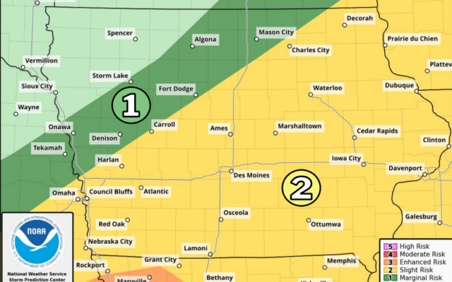
“Friday afternoon, Saturday and Sunday will each feature rounds of strong-to-severe storms,” Ansorge says. “Friday is looking more like mid-to-late afternoon across Iowa, probably southwestern Iowa has the highest risk for seeing tornadoes, large hail and damaging wind gusts. That will move east-northeast across the state into the evening hours.”
If you bought tickets for the Drake Relays, which will conclude in Des Moines this weekend, you’d better bring along a poncho and galoshes.
“Saturday, we might get a break in the morning but then looking into Saturday afternoon, storms will redevelop in the afternoon into the overnight hours,” Ansorge says, “and then Sunday, we’ll have to watch to see how things evolve on Saturday into Saturday night, but Sunday also has a risk of severe storms over roughly the southeastern half Iowa.”
We’re in the heart of severe weather season in Iowa, and Ansorge says it’s wise to have a weather radio handy, or a reliable severe weather app on your phone.
“Anytime there’s a risk of strong to severe storms, you need to make sure you have multiple ways to receive warnings,” he says, “especially if you’re going to be outside, whether that be for a ballgame, track meet, playing in your garden, make sure you know where your available shelter’s at.”
On April 16th, multiple rounds of severe weather swept across the state, spinning off as many as 13 tornadoes statewide. Some of the twisters were on the ground less than a mile, while a destructive EF2 cut across more than 40 miles of southeast Iowa.