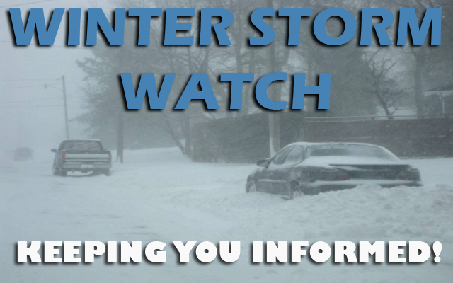
⚠ Winter Storm WATCH in effect for the entire listening area ⚠

Confidence continues to increase with regards to the incoming winter storm and its impacts. While ultimate snowfall amounts remain a bit in flux, that really won’t matter when it comes to the main impacts. The very strong NW winds and bitter cold will result in some very hazardous conditions. The strong winds will create near blizzard to blizzard conditions Thursday through Friday, and may make travel near impossible to impossible at times, especially in rural areas. The bitter cold, with the strong winds, will yield wind chill values in the 20 to 40 below range for much of the time frame from Thursday afternoon into Saturday morning. Be sure to plan accordingly if you must travel Thursday or Friday or alter travel plans if possible.

….WINTER STORM WATCH IN EFFECT FROM WEDNESDAY EVENING THROUGH LATE FRIDAY NIGHT FOR CERRO GORDO, WORTH, WINNEBAGO, HANCOCK, WRIGHT, FRANKLIN AND BUTLER COUNTIES…
Blizzard conditions possible. Wind gusts of 40 to 50 mph or greater may occur, especially later Thursday through Friday. Extreme cold and wind chills of 20 to 40 below or colder.
…WINTER STORM WATCH FROM LATE WEDNESDAY NIGHT THROUGH LATE FRIDAY NIGHT FOR FLOYD, MITCHELL AND MOWER MN…
Blizzard conditions possible. Snow accumulations of 4 to 6 inches possible through Thursday with additional accumulations through Friday night likely. Winds could gust as high as 55 mph.
….WINTER STORM WATCH IN EFFECT FROM WEDNESDAY AFTERNOON THROUGH LATE FRIDAY NIGHT FOR FREEBORN AND FARIBAULT MN…
Blizzard conditions possible. Total snow accumulations of 6 to 10 inches possible. Winds could gust as high as 55 mph.
For a more extensive county by county break down, click below!
No matter how you chalk it up, it is going to be a nasty end to the week. Ignoring the snow, blowing snow, and potential blizzard conditions for a second, the incoming bitter cold and strong winds will combine to yield dangerous wind chill values. Expect temperatures to fall through the day Thursday as NW winds pick up and once wind chills hit 20 below or colder, they will generally be that way through Saturday morning. Please be sure to dress accordingly if you must be outside for any period of time.